
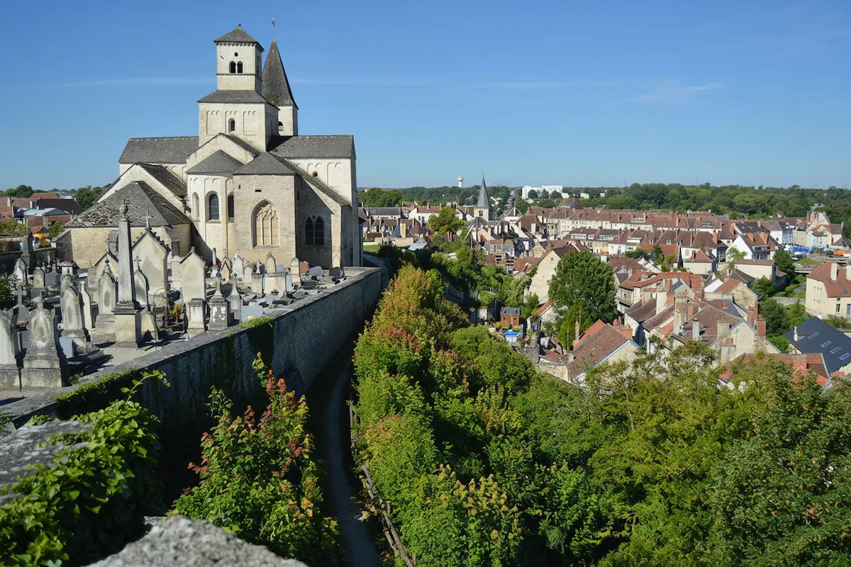


In short: the Côte-d’Or offers varied hiking landscapes, from the deep forests of the Morvan to the limestone cliffs of the Auxois and the vineyard paths of the Côte. The GR 2, the GR 7 and the GR de Pays Tour du Morvan cross the département. The high point is Haut-Folin at 901 m in the Morvan.
From 2-hour vineyard walks to multi-day routes in the Morvan, here are the 5 finest walking routes in the département, ranked by difficulty.
1. The Tour du Morvan on the GR trails (230 km, 12 days)
The GR de Pays Tour du Morvan circuits the granite massif on 230 km of waymarked path. The route crosses forests, lakes, meadows and stone villages. Cumulative elevation gain is about 5,800 m.
Stages
11 to 13 stages of 15 to 22 km. Overnight in stage gîtes, B&Bs or campsites. The stages around Lac des Settons and Haut-Folin are the most spectacular.
Difficulty
moderate to difficult. Well-waymarked trails, no technical passages, but daily elevation (300–500 m) needs good fitness.
Best season: April to October. Avoid July–August for the heat. Autumn (October) brings magnificent colour.
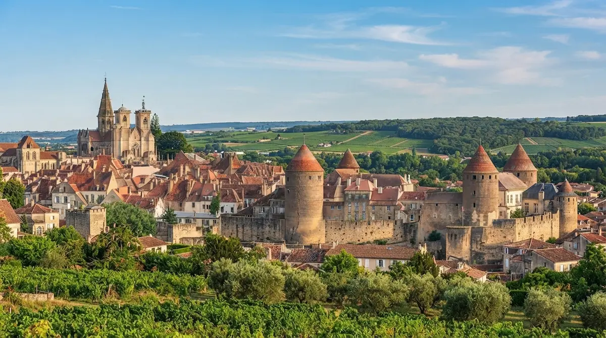
2. The Auxois cliffs (15 km, 5 h, loop)
From Semur-en-Auxois, this 15 km loop follows the limestone cliffs overlooking the Armançon. Plunging views over the medieval bastide, a passage through the gorges, return via the agricultural plateau.
Elevation
350 m. Difficulty: easy to moderate. Best season: year-round, except after heavy rain (mud).
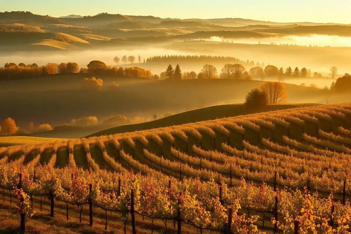
3. The Voie des Vignes on foot (72 km, 2–3 days)
The Dijon–Santenay cycle route is also open to walkers. The 72 km of gentle-slope paths cross about twenty wine communes, with no major elevation. A contemplative hike through Burgundy’s greatest climats.
Elevation
almost none. Difficulty: very easy. Ideal for beginners or a digestive walk between tastings.
4. The forêt de Châtillon (18 km, 6 h, loop)
From Châtillon-sur-Seine, this 18 km loop crosses the Forêt domaniale de Châtillon, one of Burgundy’s largest (9,000 hectares). Pass the sources of the Seine, the archaeological site and the wooded plateau.
Elevation
400 m. Difficulty: moderate. Best season: September–November (rutting stag, mushrooms).
5. The GR 7, from Dijon to the hills of Nolay
The GR 7, a European trail linking the Vosges to the Pyrenees along the watershed, crosses the Côte-d’Or from north-east to south-west: Grancey-le-Château-Neuvelle, the Dijon plain, then the hills of Nolay before entering Saône-et-Loire. At Sainte-Foy, a hamlet of Val-Suzon, it meets the starting point of the GR 2.
Difficulty
demanding. Long-distance route with no technical passage, but demanding in daily mileage: allow four to five days of walking to cross the département, booking accommodation each evening.
Best season: April to June and September–October.
Preparing your hike for the terrain
The Côte-d’Or is not a mountain range, but distances alone do not describe it well. In the Morvan, granite paths grow heavy and slippery after two days of rain; in the Auxois, descents to the Armançon can be greasy; in the vines, shade is scarce in summer. Choose the route for recent weather as much as for your form that day.
Maps, waymarks and tracks
Red-and-white GR waymarking is reliable on major routes, but a missing sign or forest fork comes quickly. Download an offline IGN map before you leave: coverage becomes patchy in some Morvan valleys and in the Forêt de Châtillon. A GPS track helps confirm direction; it does not replace a map, a charged phone and a sense of the ground.
Local loops are often marked in yellow, sometimes with a circuit name. At each junction, check that both marks follow rather than waiting for the next village. If a path crosses a farmyard or pasture, close gates and stay on the route. Right of way for walkers does not give access to cultivated plots or vine rows.
The evening before
Check hourly weather, fire risk in drought periods and any local restrictions. In autumn, driven hunts are signalled by signs and high-vis jackets: adapt your loop or choose a greenway. Tell your accommodation your next stage if you set out alone for a long day. Quiet precautions, but they stop a calm outing becoming a logistics problem.
Water and supplies
In villages, shops close early and are not open every day. Take two litres per person in summer, more on the Voie des Vignes, and do not rely on a spring without a potability notice. Saulieu, Semur-en-Auxois and Châtillon-sur-Seine are good places to buy bread, fruit and cheese before heading out. In the Morvan, a gîte can prepare a packed lunch on request: ask when you book, not at breakfast.
Sleeping when the route lasts several days
The Tour du Morvan is planned stage by stage. Gîtes, B&Bs and small campsites are not lined up every fifteen kilometres as on some busy trails. Book at least the first two nights, especially from May to September and over long weekends. An 18-kilometre stage can grow long if it ends with four kilometres of road or a climb in the rain.
Breaking up the Tour du Morvan
For a first attempt, do not aim for all twelve days at once. A three- or four-day loop around Lac des Settons and Lac de Saint-Agnan lets you test the pace, with stages of 15 to 20 kilometres. Keep a light half-day after a long climb: the Morvan is better walked with time to stop in the hamlets than on a packed schedule.
Not every village has an evening restaurant. Confirm opening days and ask whether dinner is available on site. A night in a B&B with breakfast often costs around €70 to €110 for two; stage gîtes and campsites can be cheaper, with simpler comfort. Carry some cash: small shops and producers do not always take cards.
Wild camping and fires
Tolerance of a one-night bivouac is not a general authorisation. Rules change by commune, reserve, private land and fire risk. Always ask the landowner if you are not on clearly authorised public ground, arrive late, leave early and light no fire. A stove may also be banned in a drought episode. Every scrap of litter leaves with you.
Choosing the right season
April and May bring green undergrowth, active streams and less heat, with paths that can still be muddy. June is often the best compromise for long days and meadow flowers. In July and August, set out early on the open stretches of the Auxois and vineyards; a cap and sun protection become essential.
Autumn, magnificent but demanding
From September to November, the forests of Châtillon and the Morvan take on spectacular colour. It is also harvest season, hunting season and a time of early nightfall. Pack a warm layer, a head torch and waterproof clothing, even for a loop billed as easy. Return bus or TER times are scarcer at weekends: note the last departure before you lace up.
Respecting the places you pass through
Do not pick grapes in the vines or mushrooms without knowing the rules and property boundaries. Keep dogs on a lead near livestock, in reserves and during nesting. On busy paths around Semur or Fontenay, let residents pass and avoid portable speakers. A good hike leaves the paths as you would have liked to find them.
Frequently asked questions
Do you need a guide to hike in the Côte-d'Or?
Can you bivouac in the Côte-d'Or?
Another question?
Write to usSources