
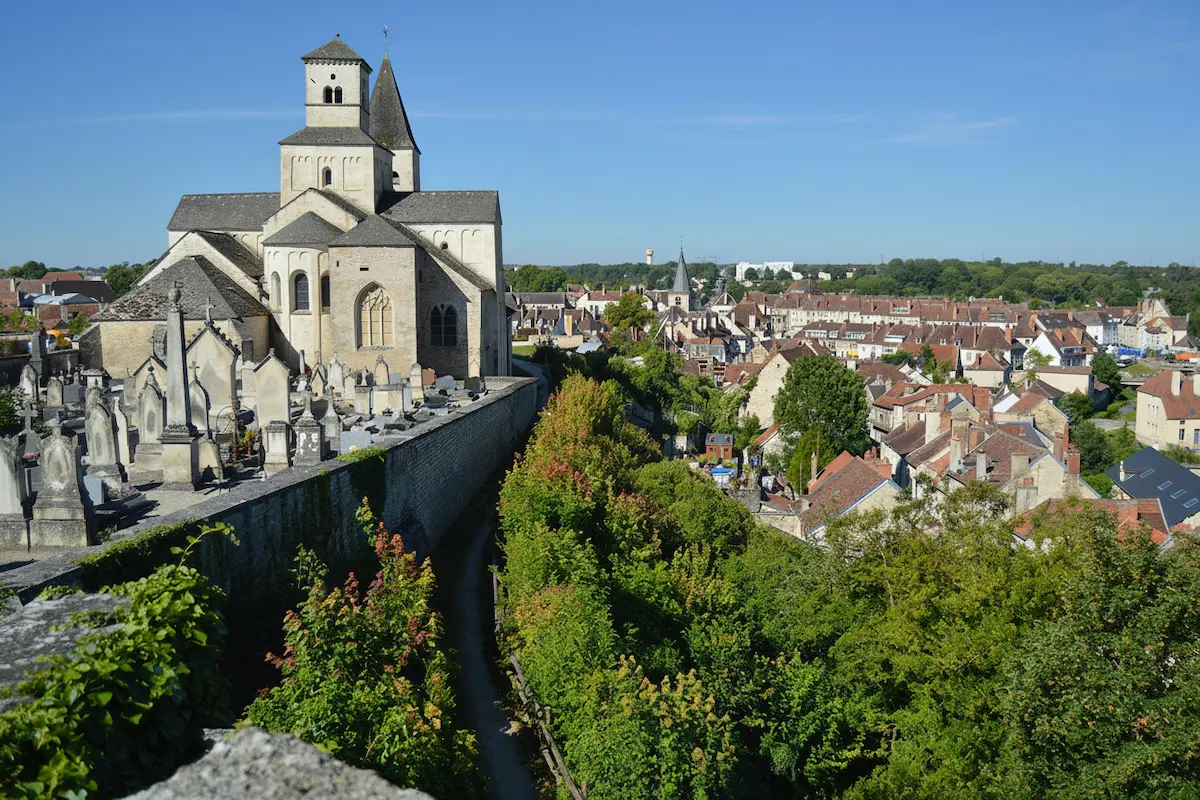


In short: Côte-d’Or offers about 2,000 km of waymarked trails, from GR 13 (422 km in total, more than 100 km of them in the Morvan) to short PR loops in the vineyard. The highest point is Haut-Folin (901 m). The best seasons are spring (April–June) and autumn (September–November). Essential kit: good boots, 1.5 litres of water per person and an IGN map.
Côte-d’Or is not the first destination that comes to mind for hiking. Yet the département offers remarkable landscape diversity: deep Morvan forests, UNESCO-listed wine valleys, Châtillonnais plateaux, canal banks. Whether you want a one-hour stroll in the vineyard or a multi-day crossing, this guide gives you the essentials.
The best routes
The Morvan: the preserved massif
The Morvan: the preserved massif, details
The Parc naturel régional du Morvan covers part of Côte-d’Or (the département’s western quarter) and offers the wildest landscapes. Haut-Folin (901 m), the Morvan’s highest point, lies in Saône-et-Loire; on the Côte-d’Or side, the relief tops out at 723 m.
GR 13: crossing the Morvan (422 km from Fontainebleau to Bourbon-Lancy, more than 100 km of them in the Morvan, moderate to difficult). The trail crosses the Morvan north to south, passes along lac des Settons, climbs Haut-Folin and joins Bibracte (mont Beuvray). Waymarked red and white. Gîtes d’étape every 15 to 20 km. Average daily elevation gain 400 to 600 m, moderate, but climbs can be steep.
Lac des Settons loop (14 to 15 km, about 4h, easy). The full circuit of the Morvan’s largest lake (366 hectares) offers changing views of water and forest. Flat trail, accessible to all levels. Start from the beach car park.
The vineyard: wine hiking
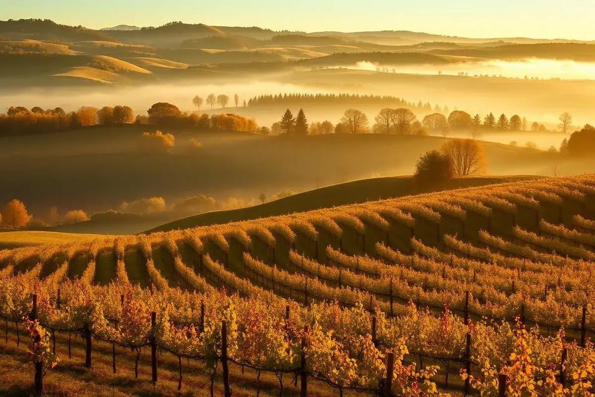
The Côte-d’Or vineyard suits shorter hikes of 5 to 15 km, with moderate elevation gain of 100 to 300 m. Wine trails let you walk among the world’s finest climats, UNESCO-listed.
GRP des Grands Crus (17.7 km, about 4h15, moderate). From Gevrey-Chambertin to Nuits-Saint-Georges along the waymarked wine trail, served by SNCF stations at both ends. Views over the Saône plain, crossing Clos de Vougeot and its 50 hectares of vines.
Walk on the Voie des Vignes (72 km in total, 2 to 3 days on foot). This cycle route from Dijon to Santenay is also walkable: it crosses the finest wine villages, with shaded sections (hedges, trees). For a day of walking with tasting stops, walk the Dijon–Nuits-Saint-Georges section (25 km).
The Auxois and Châtillonnais: nature and history
Sources of the Seine trail (short loop, easy). Walk in the Châtillon-sur-Seine forest along the young Seine to the listed source. Pass the nymph statue, the cave and stork nesting boxes. Free access.
GR de Pays “Tour du Parc national de forêts, Chemin de la Belle Étoile” (244 km over 12 days, moderate to difficult). The grand tour of the north of the département, starting from Châtillon-sur-Seine. Sustained level, moderate elevation.
Alésia loop (10 km, 3h, moderate). Circuit around the Battle of Alésia site, with plunging views over the plaine des Laumes and the Vercingétorix statue. Start: MuséoParc car park. Yellow waymarks.
Top 4 hikes by level
Beginner, under 10 km, under 200 m of elevation gain
- Sources of the Seine trail (short loop), shaded and almost flat, ideal with children.
Intermediate, 10 to 18 km, up to 400 m of elevation gain
- GRP des Grands Crus (17.7 km, about 4h15), the finest panorama over the UNESCO vineyard.
- Lac des Settons loop (14 to 15 km, about 4h), the most accessible in the Morvan: flat bank and views over the lake.
Experienced, more than 20 km a day or trekking
- GR 13 in the Morvan (more than 100 km of trail), the reference trek, with gîtes d’étape every 15 to 20 km.
Essential kit
Footwear
Rule number one for hiking in Côte-d’Or: do not set off in trainers. Vineyard paths are stony and slippery; Morvan forest trails are muddy much of the year. Invest in high-ankle hiking boots, Vibram or equivalent sole, waterproof (Gore-Tex or equivalent membrane). If you only have one pair for the trip, versatile light hiking shoes suffice for vineyard trails, but not for the Morvan.
Water and food
Drinking water is scarce on Côte-d’Or trails. Public springs are infrequent, especially in the vineyard (roadside fountains are not always potable). Carry 1.5 litres of water minimum per person for a half-day walk, 2 to 3 litres for a full day. A filter bottle (LifeStraw, Katadyn type) lets you drink from Morvan streams, but is not essential on waymarked trails.
For food, prefer: dried fruit, cereal bars, fresh fruit, sandwiches. Wine villages often have a bakery for a packed lunch, but some close on Monday and Tuesday. In the Morvan, shops are rare, bring provisions before setting off.
Layered clothing
Côte-d’Or weather is changeable, even in summer. Mornings can be cool (10–15 °C in May, 15–20 °C in July), afternoons hot (25–35 °C), and a storm can break in late afternoon. The three-layer system is the rule:
- Base layer: technical T-shirt (no cotton, which stays damp)
- Insulating layer: light fleece or micro-fleece
- Waterproof layer: windproof and waterproof jacket (wide hood covering the head and neck)
Convertible hiking trousers (zip at the knee) are ideal for the vineyard where you quickly move from sunny slope to cool undergrowth.
Map and navigation
Mobile signal is poor in Morvan and Châtillonnais forests. Do not rely solely on your phone. Bring the IGN Top 25 map (1:25,000) of the area you are covering. Map references change with the sheet layout: search for your zone on the IGN website or in a hiking bookshop rather than trusting a memorised number, a neighbouring sheet does not cover the same massif.
Trails are well waymarked red and white (GR), yellow and red (GRP) and yellow (PR), but waymarks can fade or be missing in forests after logging work. In addition to the paper map, the IGN Rando app lets you download these maps offline, handy in the Morvan, where the signal is poor.
Pre-departure checklist
- ✓Broken-in boots, high ankle, waterproof
- ✓Water: 1.5 L minimum per person (2 to 3 L for a full day)
- ✓Three layers: technical T-shirt, fleece, waterproof jacket
- ✓IGN Top 25 map paper + offline app
- ✓Hat, sunscreen, sunglasses, the vines offer no shade
- ✓First-aid kit: plasters, dressings, disinfectant, tick remover, painkillers
- ✓Food: bars, dried fruit, fresh fruit
- ✓Charged phone + power bank, whistle, headlamp if returning late
- ✓Walking poles, invaluable on the Morvan’s muddy descents
First-aid kit
Carry at minimum: plasters (blisters), sterile dressings, disinfectant, tick remover, elastoplast, painkillers (paracetamol), personal medication. Pharmacies are rare in rural Morvan and Châtillonnais.
Elevation and difficulty
| Route | Distance | Elevation | Duration | Difficulty |
|---|---|---|---|---|
| Voie des Vignes (Dijon–Beaune) | 49 km | 100 m | 10–12h | Difficult |
| GRP des Grands Crus | 17.7 km | 250 m | 4h15 | Moderate |
| Lac des Settons loop | 14–15 km | 50 m | 4h | Easy |
| GR 13 (average daily stage) | 15–25 km | 400–600 m | 5–8h | Moderate |
Difficulty in Côte-d’Or is less about elevation than distance. Trails are rarely technical, but kilometres on stony terrain (vineyard) or muddy paths (Morvan) tire the feet.
Hiking safety
Before setting off
- Check the weather (Météo France, yellow/orange/red alert). Do not set off under orange alert.
- Tell someone your route and expected return time.
- Download the IGN map on your phone offline.
- Check your phone is 100% charged.
- Do not go alone if you are not an experienced hiker, especially in the Morvan.
During the hike
- Follow waymarks: do not cut trail switchbacks (erosion, fall risk).
- Stay on waymarked paths: vines and fields are private property. Do not cross without permission.
- Watch for storms: if you hear thunder, leave ridges and move away from isolated trees.
- Refill bottles whenever you find a public fountain or potable water point.
- Take breaks: every hour, drink a little, even if not thirsty.
After the hike
- Check your body for ticks, especially if you walked in Morvan or Auxois undergrowth.
- Stretch gently to avoid stiffness.
- Tell the person you informed that you are back.
Accommodation and supplies
Gîtes d’étape and refuges
The Morvan and Châtillonnais have a network of 25 gîtes d’étape on GR routes. Allow €20 to €35 per night in dormitory, €40 to €60 in a private room. Booking advised in summer. Gîtes are often closed December–January.
Supplies
Wine villages generally have a bakery and small supermarket. In the Morvan, villages (Saint-Brisson, Ouroux, Saulieu) have a grocer or weekly market. Stock up before entering the most remote areas.
Bivouac and wild camping
Bivouacking (one night only, from sunset to sunrise, small tent) is possible in Côte-d’Or, but regulated. Prolonged camping, on the other hand, is forbidden without authorisation:
- Private land (most forests): bivouac forbidden without the owner’s agreement.
- Forbidden in woodland classified “to be preserved”, on roads and paths, within 200 m of a potable water catchment point and within 500 m of a listed monument.
- Bivouac forbidden around the Pannecière, Saint-Agnan and Chamboux lakes (drinking-water reserves) and at lac des Settons (listed site).
- The Morvan Park provides free eco-bivouac areas (notably at the Maison du Parc in Saint-Brisson): arrive before 6 p.m., leave before 9 a.m., 10 people maximum, no motorised vehicles. Check with the tourist office before settling in.
When in doubt, prefer a gîte or campsite: accommodation remains affordable in Côte-d’Or (see previous section).
Seasons and weather
| Season | Temperature | Conditions | Recommended |
|---|---|---|---|
| Spring (April–June) | 12–22 °C | Moderate rain, damp ground | Yes: ideal |
| Summer (July–August) | 20–35 °C | Storms, high heat | Yes: start early |
| Autumn (Sept–Nov) | 8–20 °C | Morning mist, rain | Yes: ideal, colours |
| Winter (Dec–Feb) | -5 to 8 °C | Frost, mud, short days | No: experts only |
Spring and autumn are the best seasons for hiking in Côte-d’Or. Vine budbreak (April) and harvest colours (September–October) offer the finest landscapes.
Mountain weather (Morvan)
In the Morvan, the weather changes fast: fog can cover the ridges (Saint-Brisson, Haut-Folin) while the sun shines on the plain, and summer storms often break in late afternoon. A few simple rules:
- Check the Météo France alert the evening before and the morning of departure; do not set off under orange or red alert.
- 30/30 rule: if less than 30 seconds separate the lightning from the thunder, take shelter; only set off again after 30 minutes without thunder.
- The temperature drops by about 1 °C every 100 m: at Haut-Folin (901 m), it can be 5 to 7 °C colder than in Dijon.
- In summer, start early (before 9 a.m.) and avoid walking between 1 p.m. and 4 p.m. in the vines, which offer no shade.
Frequently asked questions
Can you hike in the vines all year round?
What are the risks linked to hunting?
Do I need special kit for hiking in the Morvan?
Where can I find drinking water on the trails?
Another question?
Write to usSources
- Morvan Regional Natural Park: Hiking
- Côte-d'Or Tourisme: Hiking routes
- FFRandonnée: GR and PR in Côte-d'Or
- Météo France: Alerts and forecasts
- Office National des Forêts: Morvan forests
- Visorando: Côte-d'Or hikes
- IGN: Top 25 hiking maps
- Ministry of the Interior: Hiking emergency numbers
- SNCF: TER Bourgogne, access to trailheads
- Wikipedia: GR 13